
Stories
Story map: Kenya’s water towers
Follow Rhino Ark’s work across mountain forests, from the founding Aberdare fence to Mount Kenya, Kakamega, Mau and Eburu. Then open the live map to explore each landscape.
 410 km fence
Chapter 1 · Where it began · 410 km fence
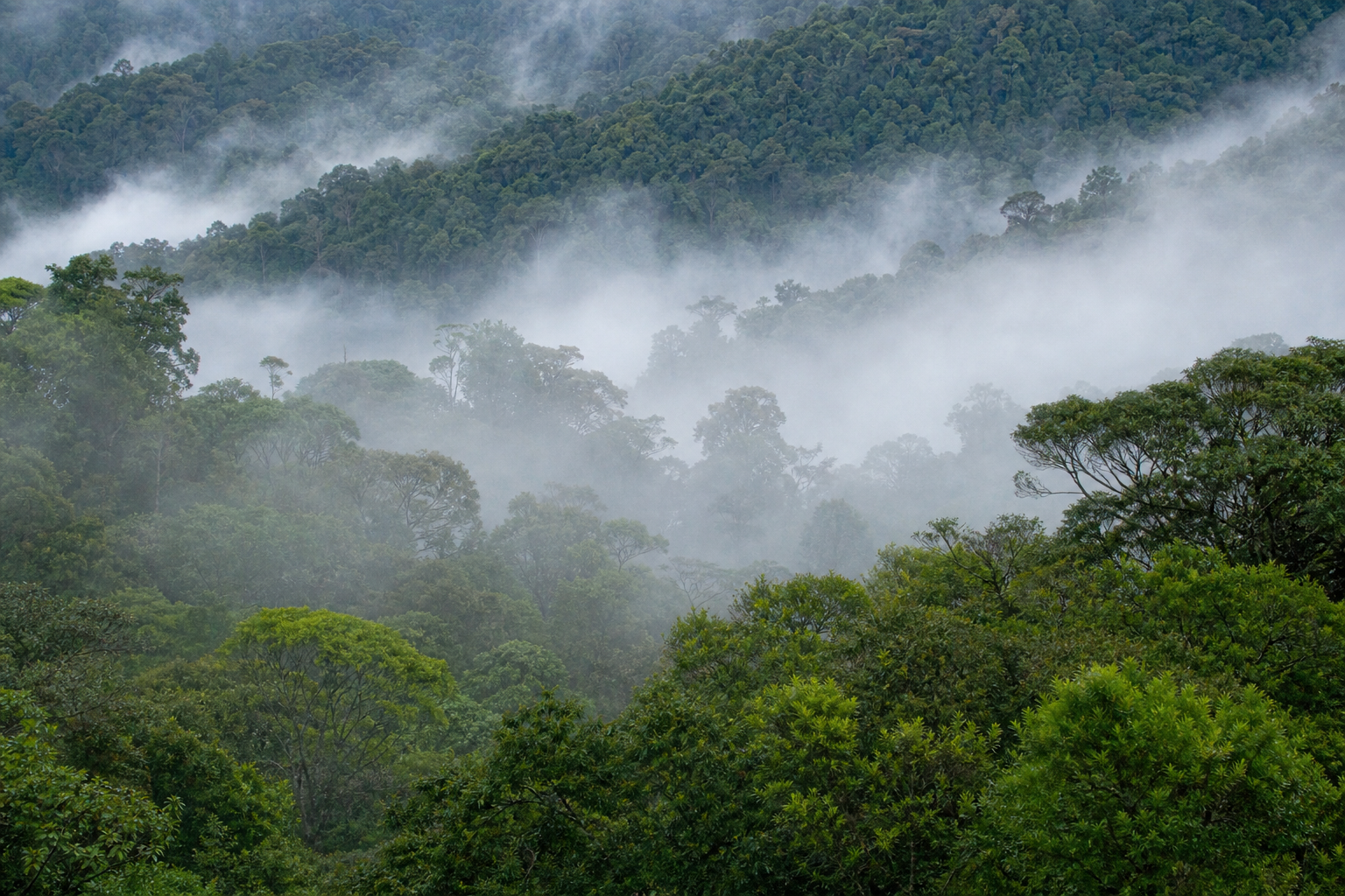
Aberdare Range
A vital water tower and wildlife habitat. Rhino Ark’s founding fence programme began here to support forest protection and reduce human-wildlife conflict along the Aberdare Conservation Area.
 316 km fence
Chapter 2 · Water tower · 316 km fence
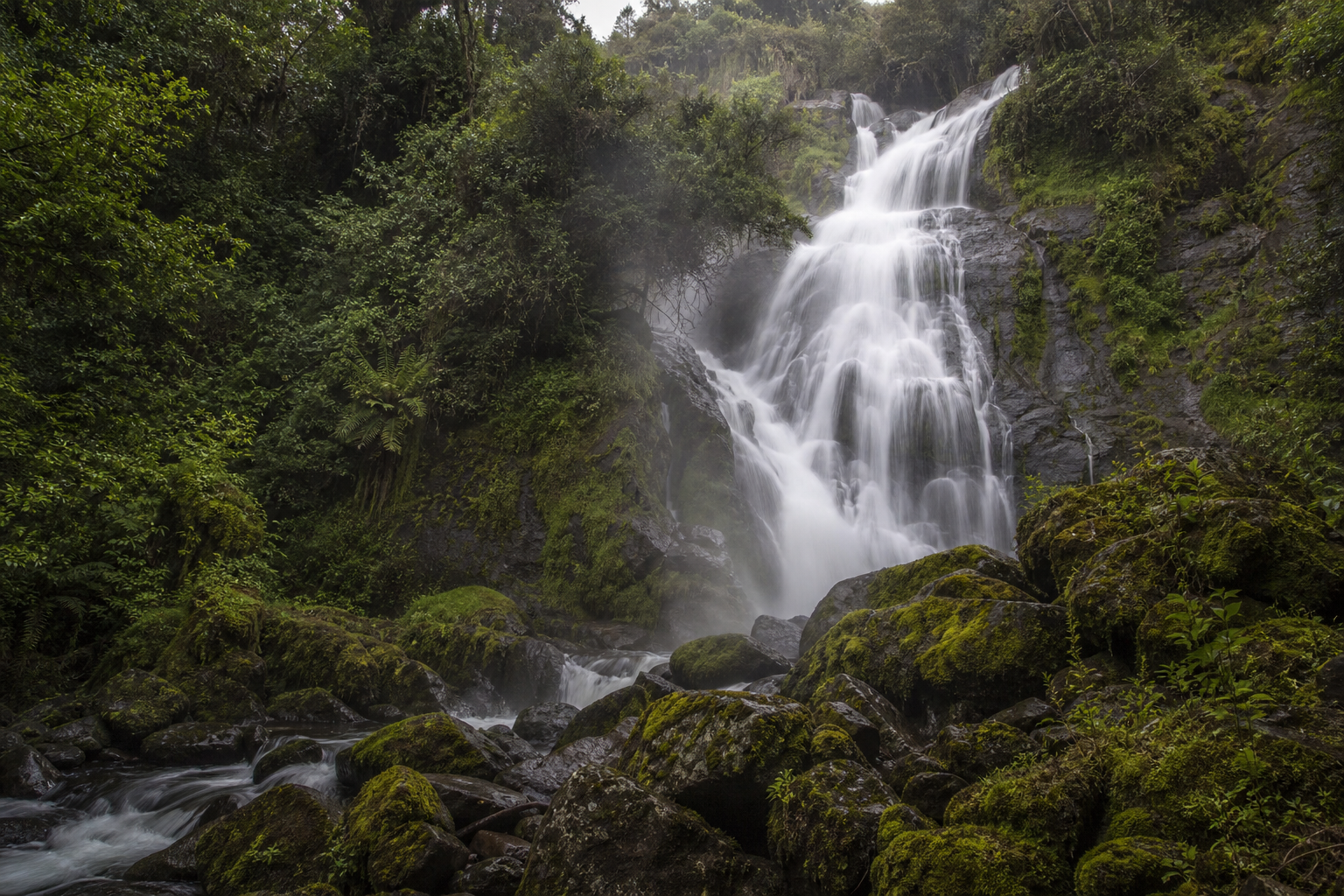
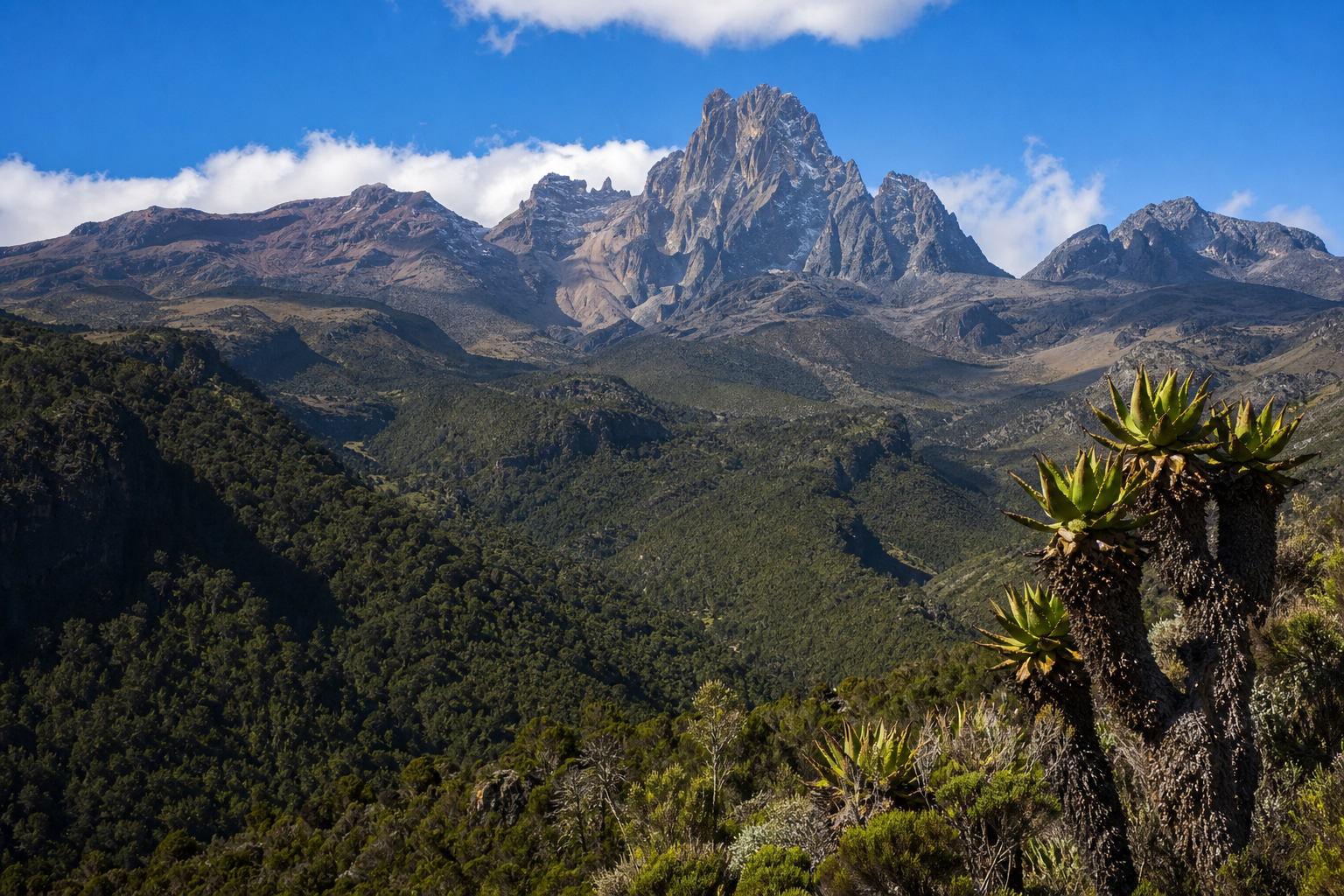
Mount Kenya
A major water tower where Rhino Ark supports conservation fencing and human-wildlife conflict reduction. Public impact studies have assessed the Mount Kenya electric fence.
 50 km fence
Chapter 3 · Tropical rainforest · 50 km built
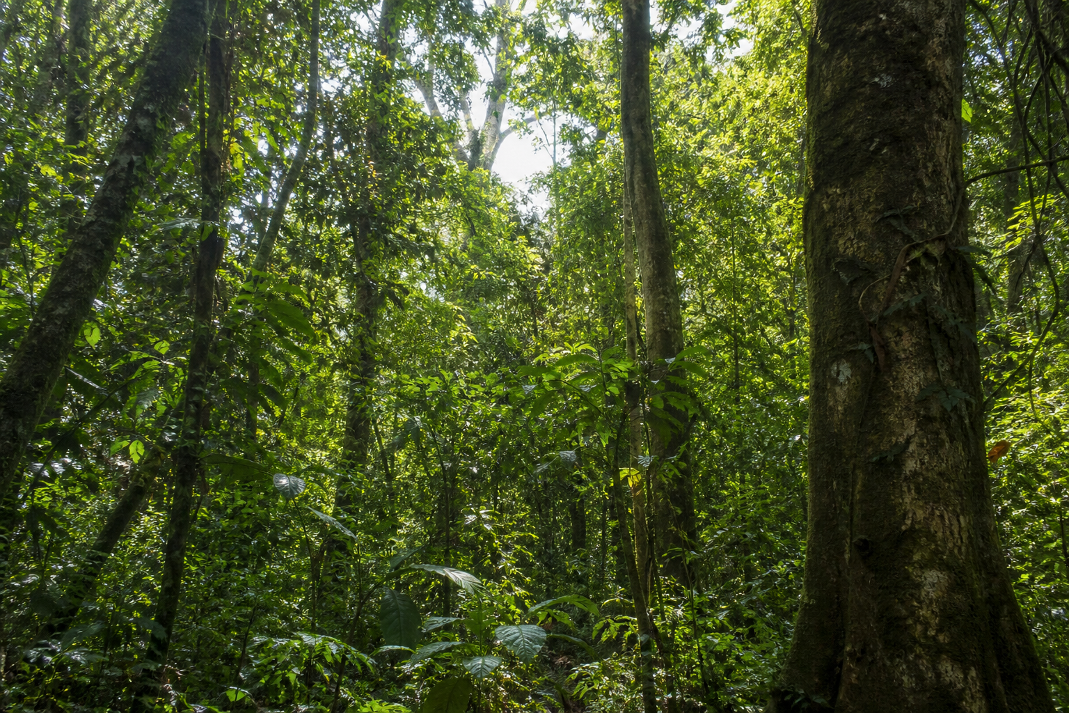
Kakamega Forest
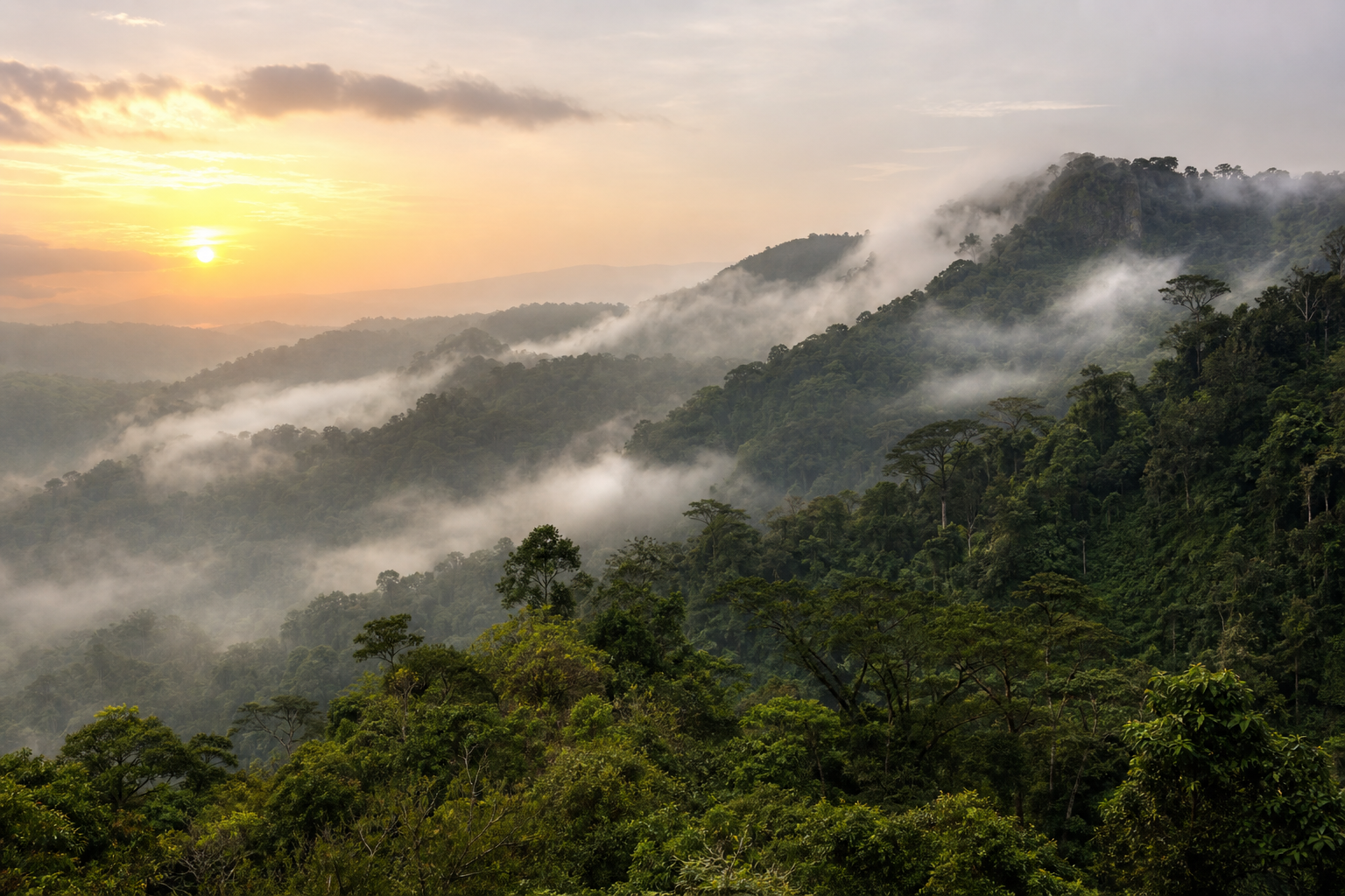
Kenya’s only tropical rainforest. Rhino Ark is campaigning to fence about 117 kilometres around Kakamega Forest to protect biodiversity, reduce conflict, and curb illegal activity.
 32 km fence
Chapter 4 · Education & fencing · 32 km
South Western Mau
Rhino Ark supports conservation education and fencing in the South Western Mau landscape, including curriculum work that instils conservation values among younger generations.
- 43 km fence
Chapter 5 · Mountain forest network · 43 km
Eburu
Part of Rhino Ark’s mountain forest fencing network, with 43 km of electric fence built and maintained to date.
Field stories
Problem, people, evidence, action
Continue on the live map
Filter by wildlife, water or communities, search landscapes, and open each place for programmes and species notes.
Explore Where We Work